Abstract. Pre-Columbian terraced farming plots across the Americas have received much attention and been the focus of contentious debates regarding their age, productivity, and role in the development of pre-Columbian agrarian societies. Even though these “grid gardens” and terracing are all associated to permanent or semi-permanent high water levels, they occur in different environmental and geographical contexts. No field-based studies on grid gardens have been carried out in North Texas and little is known about their use and past management. Based on topographic surveying and mapping, soil physical and chemical analysis and OSL and radiocarbon dating, this paper shall provide insight into the morphology, operating principles, and time frame for the use of raised fields in the North Texas and south-central Oklahoma area. This effort shall study grid gardens of different sizes that were built on Hagerman’s Wildlife Refuge, with a complex fluvial history. I hope to date these sites to similar shaped and sized grid gardens found in Asia, Europe, and Africa, connecting local man-made terrestrial formations to others in the world.
----
----
A couple of weeks ago, I was using Google Earth to help a friend on Easter Island flag potential dig sites. Afterwards I decided to do some exploring, so I followed an underwater mountain ridge east toward land, but it turned into a line...so I kept following it. As I reached the Chilean coast I noticed that another line intersected with it inland, at a place called the "Reserve Nacional Pampa del Tamarulgal"- an artificially planted forest containing millions of tree. I researched its construction and found only a singular study that said it was planted in the 60's, but accompanying photos show a fully matured plantation in the photographs.

Moreover, I searched their economic history and saw nothing in any of the budgets that said they could or did plant almost two million trees in perfect alignment in the middle of a very dry desert.
That find led me to follow other similar lines to other artificial forests all around the world, but what I also found were similarly shaped and sized grid gardens, massive in size.


These plantations hold millions of trees, and they are all around the world, and even on remote islands with sparse populations.

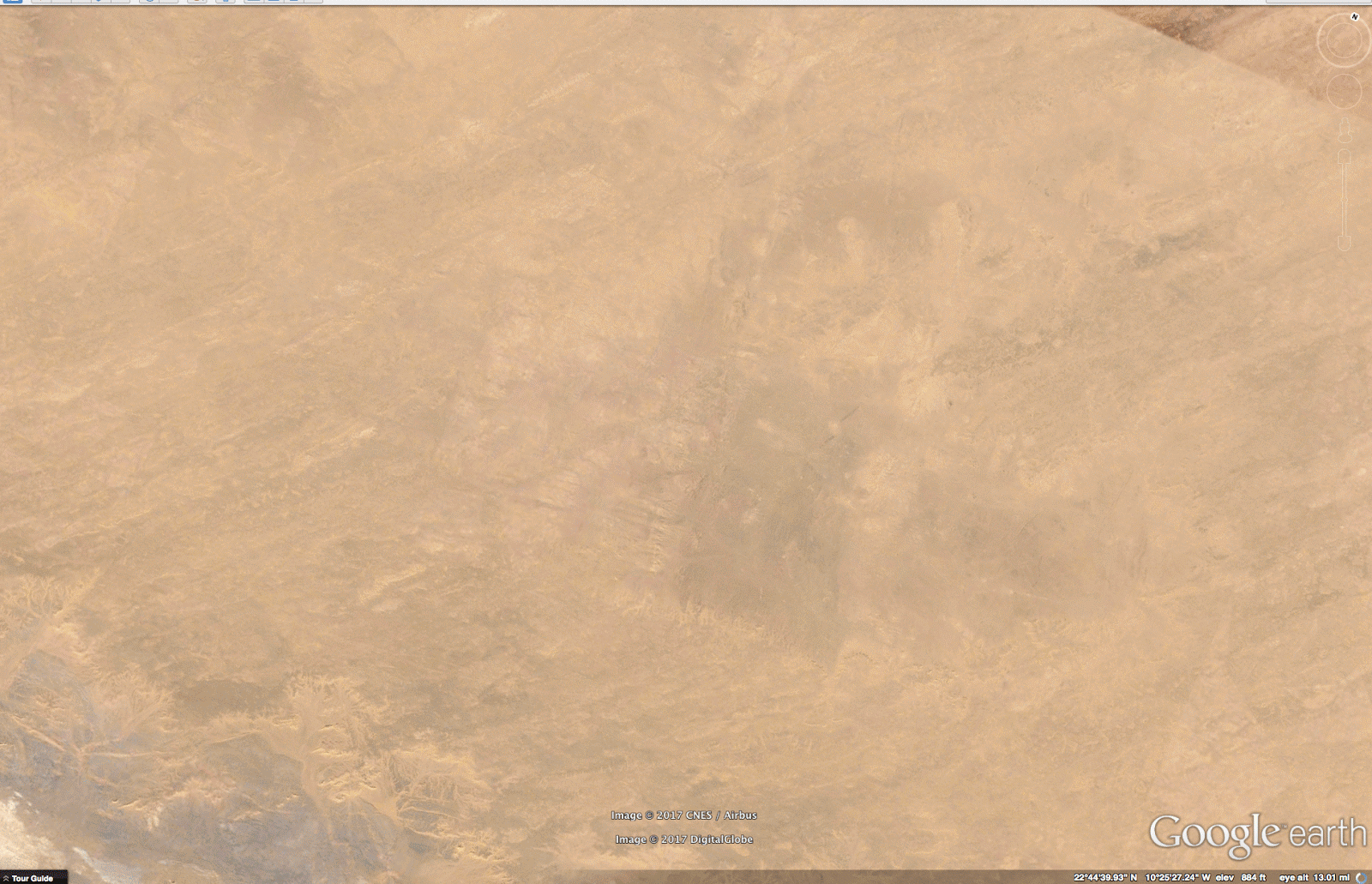
Along side or instead of plantations I also found very consistent looking patterns.


They were everywhere I looked, so I asked myself, "If I am finding them everywhere, were these sites globally connected?" If the answer is 'Yes," then I should find similar structures near me...I found these near my home in North Texas.

Similarly sized and shaped plots like this,

have been dated 5500 years ago from Bolivia and Peru.
Upon this find, I wondered if there were any place that I could look, that did not have these formations. Everywhere I looked, I found the same sort of planting structures. I even found abandoned cities high in the Himalayas that featured them.

have been dated 5500 years ago from Bolivia and Peru.
Upon this find, I wondered if there were any place that I could look, that did not have these formations. Everywhere I looked, I found the same sort of planting structures. I even found abandoned cities high in the Himalayas that featured them.

I even found them in the rainforests!

Then I noticed something else, the oldest deepest darkest forests and rainforests had very straight roads, that were overgrown.

Not only that, but from around 10,000 feet up, plow lines appear. It looks like the forests were plowed, then planted. Google Earth claims that these lines are 'artifacts' like the ocean lines I followed to find the first artificial forests. They were created using the LandSat7 satellite...but...in this image they disappear where the river has washed them away. They are plow lines, not artifacts.

Here's a test one can perform on any set of "Google Earth interlacing," or LandSat7 anomalies- 'trace the lines using the 'draw several points' function, then zoom in, and watch roads, trenches, fences, and or rows of trees begin to appear.
After spending weeks looking at just the forest and finding overgrown ruins aplenty, and even a tree 150 feet wide,

I went into the Sahara thinking, "Surely, this place might be empty!?" I found the same things there too, but upon zooming back out I noticed that there were what looked like two giant blocks stretched across north Africa with a corridor 200 miles wide between them.


Overlapping the pass is a massive sand wash, that turns southwest.

Then it struck me, these could be the "Pillars of Hercules" and to the southwest should be Atlantis! Following the sand wash I came upon this.

It is called the Richat Structure, and it has been discounted as Atlantis because it is not outside the Straights of Gibraltar, nor the right distance from Athens, but I think that does not take into account this massive sand wash, and how that may have changed the geography of North Africa. I found the outer wall and ruins.


Just East and to its North I found more grid gardens, or at least their partial remains.

However, what I think is more likely, is that this was only part of the circular imbued watery world.
Across the African desert one finds stone circles buried in sand.

These stone circles are all over the world, alongside aged artificial forests,

and or, old grid gardens.

Pools or circular oasis also appear across North Africa,

but they are overgrown in the rainforests.

Yet, in the now dry North African desert caves, we see ancient swimmers.

I believe this red sand wash came along with a tsunami caused by the dual eruption of Mount Pinatubo and Mount Taal in a massive eruption that happened about 5500 years ago. There's evidence of this red sand wash radiating all around it.
These images are from Australia.


These show it dumping into and out of the Grand Canyon and out across the North American prairie.


Here's the results on the South American Mountain range.


This is the Mount Pinatubo, Taal, and Krakatau's tsunami footprint.


So, here's my thesis:
These images are from Australia.


These show it dumping into and out of the Grand Canyon and out across the North American prairie.


Here's the results on the South American Mountain range.

The 'red wash' was found and dated from ocean core samples from off the West coast of Africa to 5500 years ago.


Do these look like wind ripples, or deep water ripples caused by rushing water?

This is the Mount Pinatubo, Taal, and Krakatau's tsunami footprint.


So, here's my thesis:
"Should a multiple volcanic eruption around 5500 years ago be held responsible for destruction of an advanced agricultural civilization with an Atlantean connection, that planted these industrial-sized and similarly shaped agricultural plots located in remote locations?"
*These and other images can be found here.